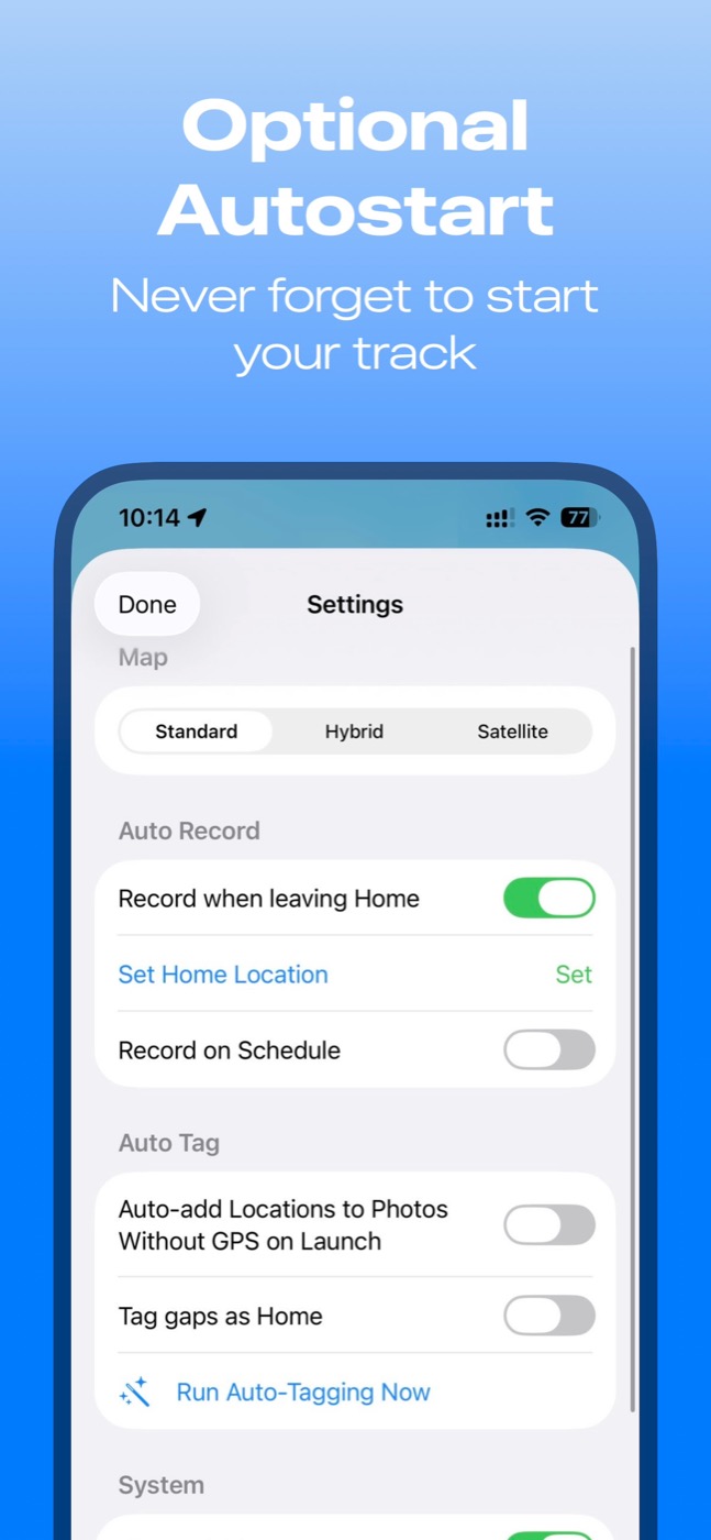
Automatic recording
Version 3.0 adds saved-location workflows for places like home, work, and hotels. It is ideal for travel days: define the place, leave, and let the recording begin.
 Cardinate Apps
Photo & Video · GPS toolkit
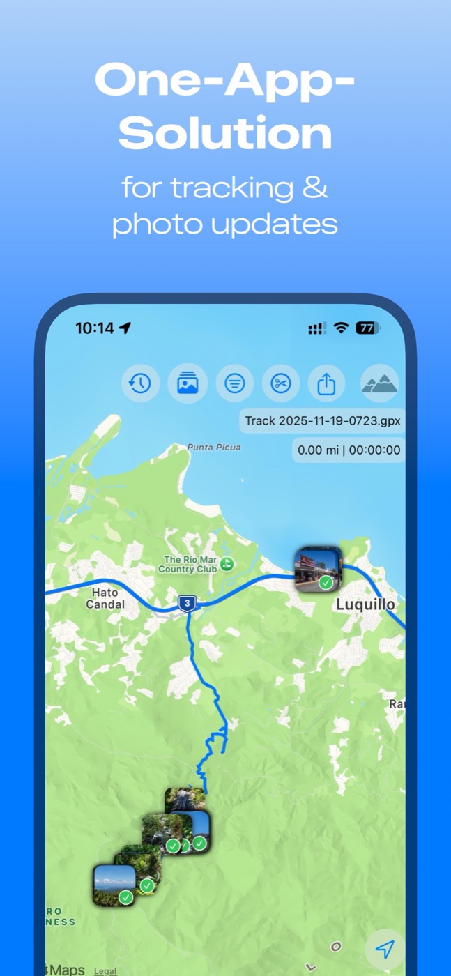
GPX PhotoGraph is the photographer's location toolkit: record accurate tracks, auto-start when you leave saved places, auto-tag photos, and repair wrong or missing GPS data for photos and videos.
Prices are subject to change, may exclude taxes, and local prices are determined by the Apple App Store.
Use your iPhone or Apple Watch as the reliable GPS companion for cameras that do not have GPS, camera apps that disconnect, travel days with many stops, hikes, photowalks, and long shoots where clean location data matters later.
Why it stands out
Version 3.0 adds saved-location workflows for places like home, work, and hotels. It is ideal for travel days: define the place, leave, and let the recording begin.
Match captured media to GPX timestamps, batch-fix missing GPS, drag pins for individual corrections, and keep screenshots excluded from location changes by default.
Import, export, merge, cut, filter by date range, and select matching GPX files in batches. It is both a tracker and a practical GPX workbench.